Tour Details
The Ausangate Trek is the most representative mountain of Andes. It is located to 6,372 meters height.
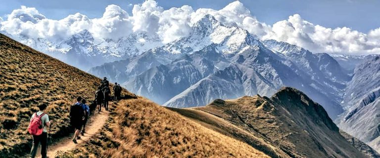
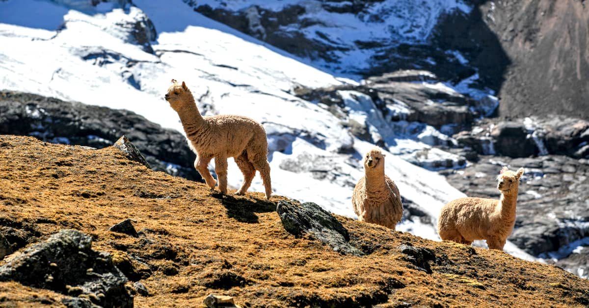
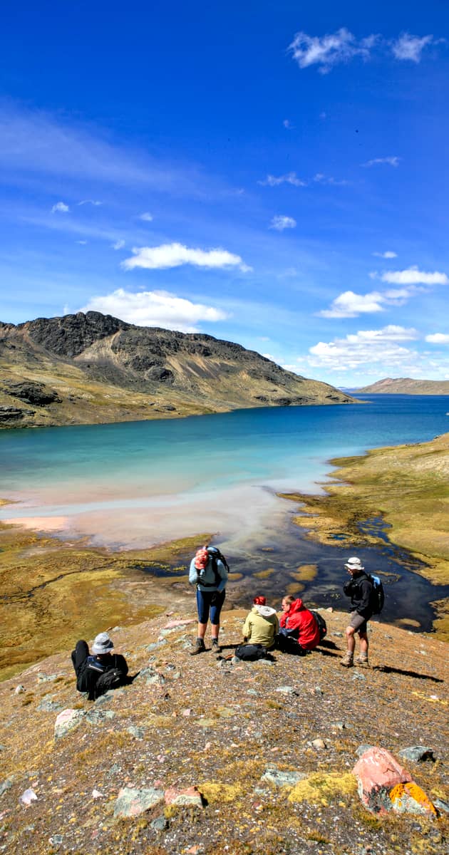
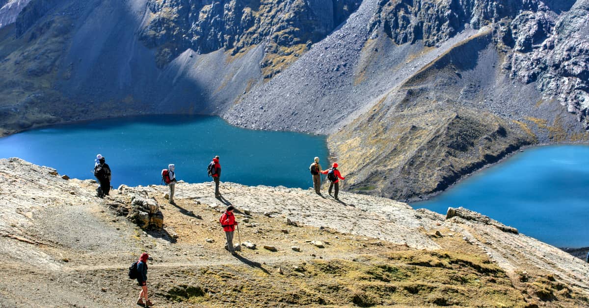
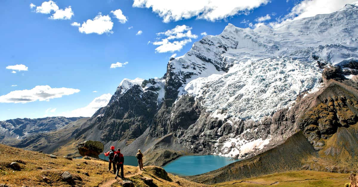
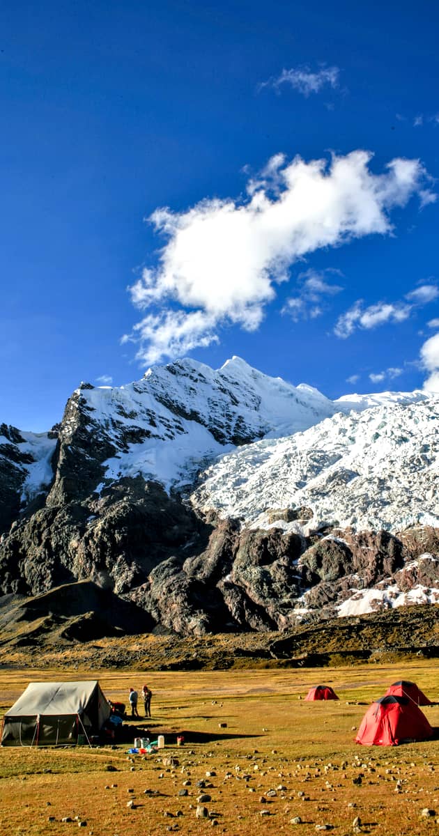
Turquoises lagoons, extensive plains and stone forest, turn totally to the zone an isolated lunar paradise. To walk by the landscapes of the Ausangate is an indescriptible adventure, in which it is impossible not to be astonished before the beauty at the dusks and eternal snows. He is frequent to also be with rock needles that rise to more than five thousand meters of height and with ice tongues that fall of vertiginous way and form glacial lagoons.
Itinerary : Summary Ausangate Trek
Day 1: Cusco – Tinki – Pacchanta.
Day 2: Pacchanta – Pachaspata.
Day 3: Pachaspata – Chilca.
Day 4: Chilca – Pukacocha.
Day 5: Pukacocha – Upis or Coñamuro.
Day 6: End of the trek in the Cordillera Villcanota and return to Cusco.
Itinerary: Ausangate Trek 6 days
The sequence of times and camping places indicated are subject to modification depending on weather conditions or unforeseen events
Price per Person
| Number of Hikers | 6-9 |
| Group Service | $690 |
| Number of Hikers | 1 | 2 | 3 | 4-5 | 6-9 |
| Private Service | $1150 | $810 | $750 | $730 | $710 |
**Please note that the prices listed above are only applicable for 2026. Rates vary depending on departure dates. Speak with one of our Travel Advisors for a free quotation and further information.
Included
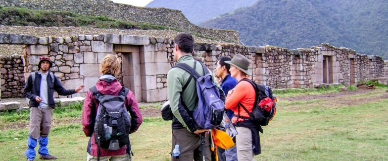
- Professional Guide
- Meals 5 breakfasts + 6 lunches + 5 dinners
- Entrance fee to Choquequirao
- Shelters
- Transportation Cusco – Tinke – Cusco
- Sleeping Tents for 5 Days + camping equipment
- Pack animals and Muleteers + 1 emergency saddle
- Trail Cook
Not Included
- Expenses of personal nature such as beverages, laundry, tips
- Guide gratuity
- Any item including meals which has not been covered in the itinerary
- All optional tours or activities during free time
- Transfers outside of the tour program